

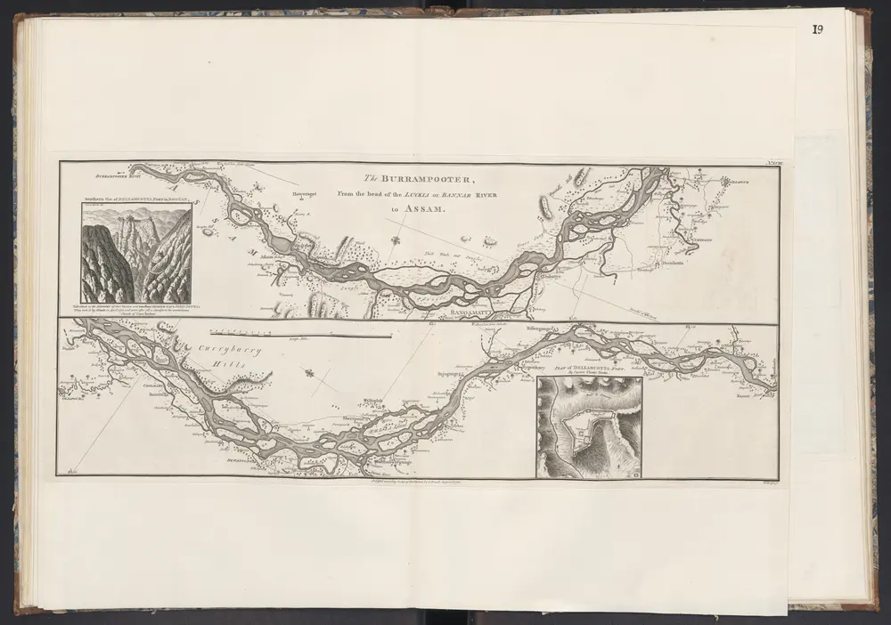
The Burrampooter, From the head of the Luckia or Bannar River to Assam.
1781
Rennell, James
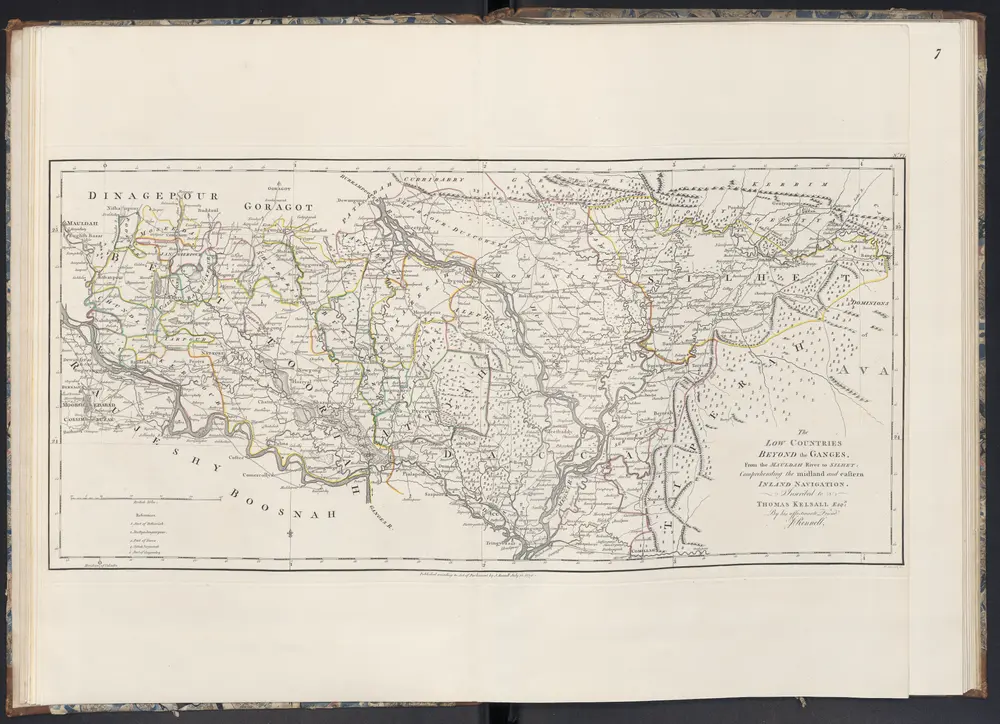
The Low Coutries Beyond the Ganges: From the Mauldah River to Silhet: Comprehending the midland and eastern Inland Navigation.
1781
Rennell, James
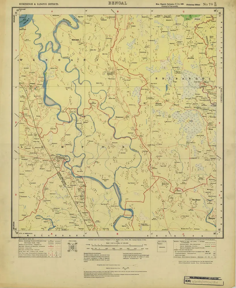
Bengal, No 78 G/16
1922
Survey of India
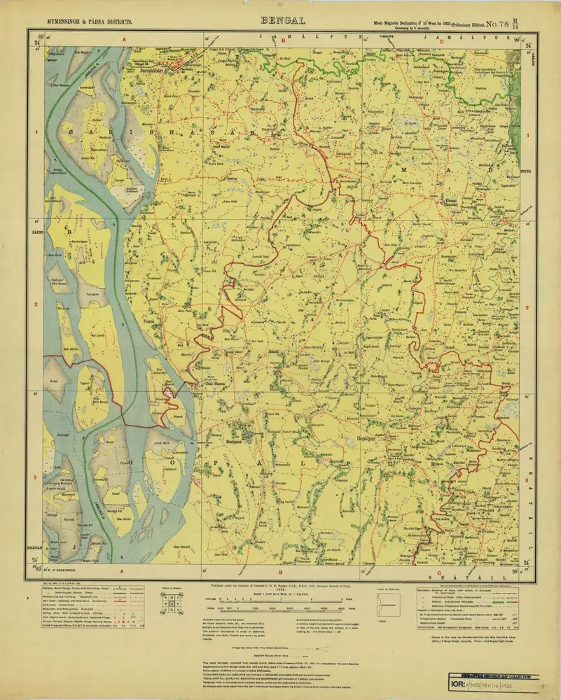
Bengal, No 78 H/14
1922
Survey of India
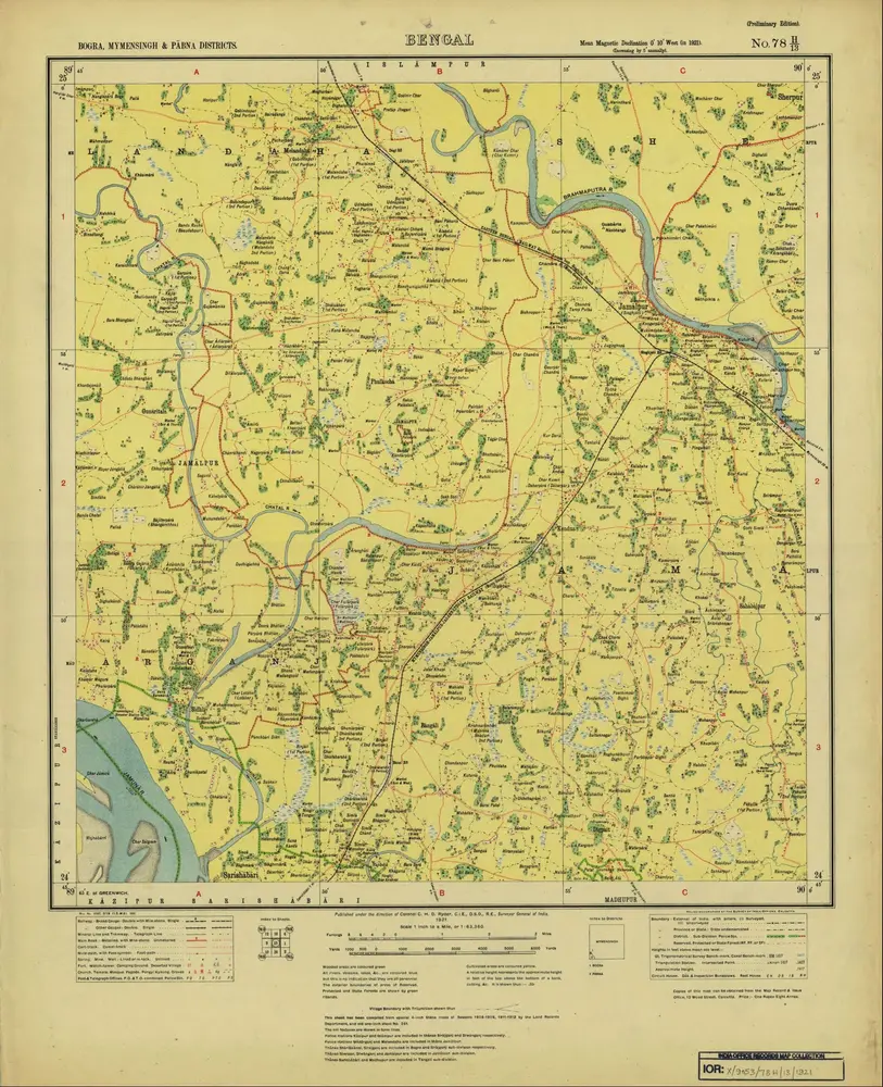
Bengal, No 78 H/13
1921
Survey of India
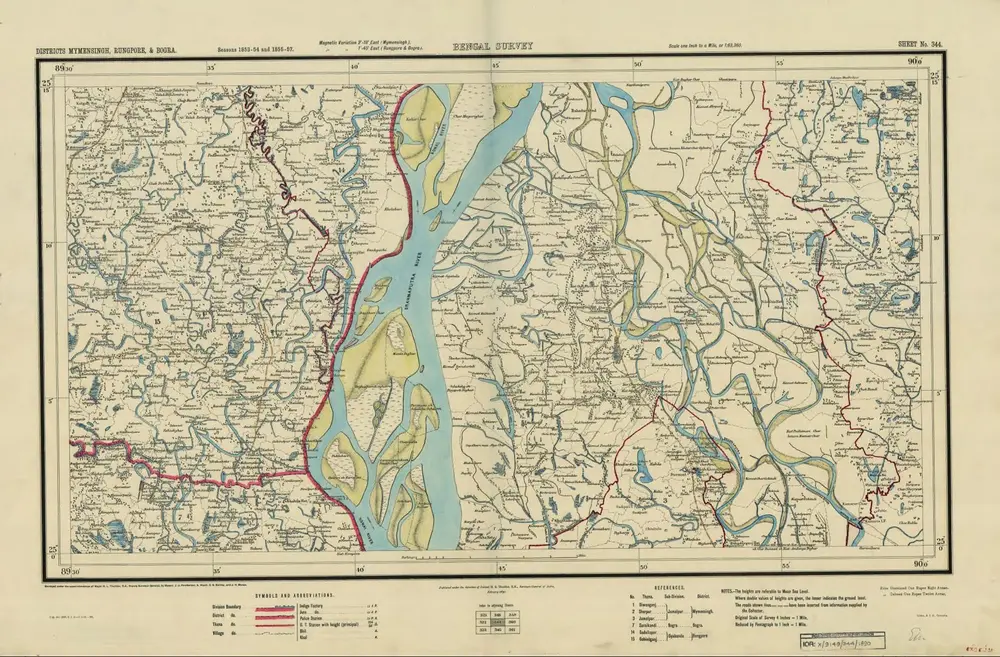
Bengal Survey, Sheet No 344
1890
Survey of India
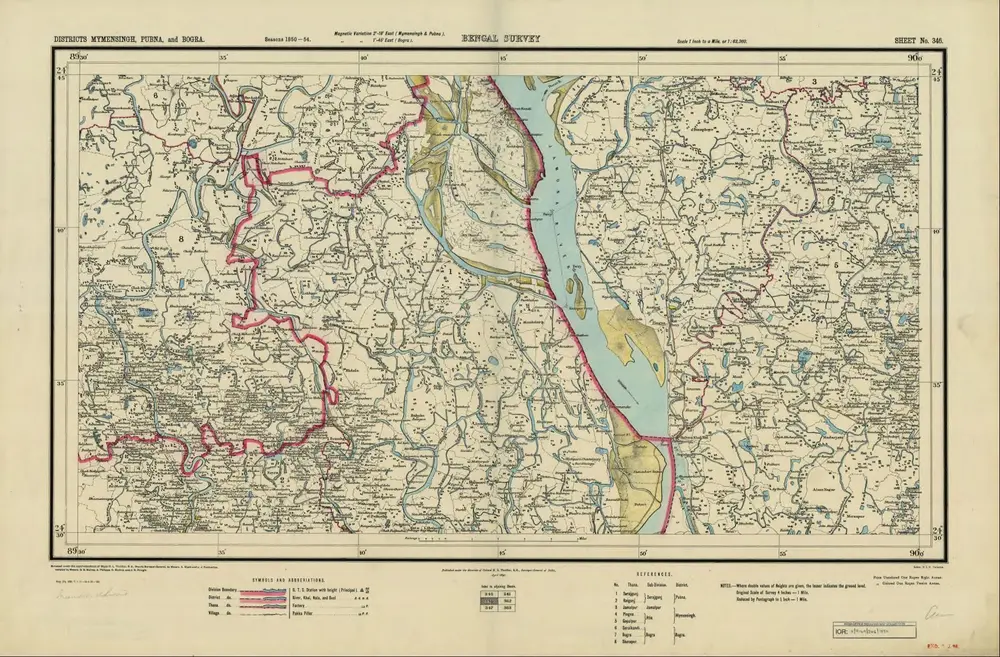
Bengal Survey, Sheet No 346
1890
Survey of India

India and adjacent countries
1931
Survey of India offices
1:1m
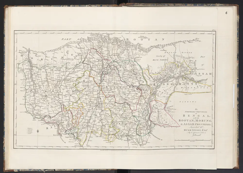
The Nothern Provincies of Bengal; with the Bootan, Morung, & Assam Frontiers
1781
Rennell, James
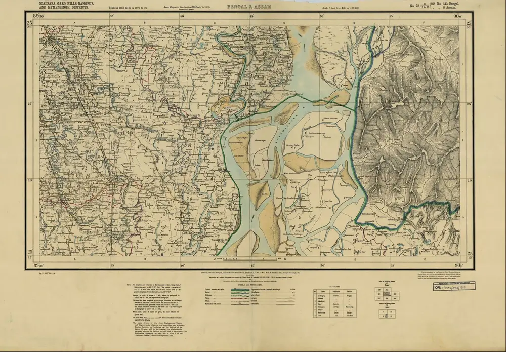
Bengal & Assam, No 78 G/11&15
1915
Survey of India

